Wellhams Brook is the name given by the Environment Agency to the network of watercourses that drain the Yeovil scarplands from Ham Hill in the south, the Yeovil boundary in the east and Tintinhull in the north. The main watercourse flows under the A303 near Cargate where it is called Hurst Brook. It splits before the village, the noirthern course being a Mill Race called Mill Brook and the two rejoin just before joining the Parrett at Gawbridge. A network of rhynes flow into both.
Martock Sewage Treatment Plant is built adjacent to Hurst Brook (at this point called Hinton Meads Brook) a little downstream from Martock but the outflow is now piped to the river Parrett just downstream from Gawbridge.
Wellhams Brook is the source of all Martock Floods which happen when it is unable to drain adequately into the Parrett at times of high rainfall and high tide in the Bristol Channel. The Hills to Levels scheme is promoted by the Somerset River Authority and FWAG South West as a flood prevention scheme involving slowing the flow through the village by means of a series of dams, big and small, upstream. These not only slow the flow but also provide the right conditions for lowering phospahe concentrations on the watercourses. They do this by ensuring good oxygenation through small waterfalls and well developed riparian and pond planting.
These observations may refer to a sample number in brackets. To locate this, follow the link to the maps showing observations..
1 All the watercourses tested showed moderate or poor phosphate levels–with two exceptions noted below. All sources are agricultural. Levels were notably higher than recorded by the Environmant Agency who stopped recording in 2017
There are no Sewage Treatment Works (STW) discharging into this system. Although Martock STW is located next to Hinton Meads Brook downstem of the village, its outflow was moved soem time ago to the River Parrett just downstream of Gawbridge. There are some septc tank outflows in the area and one phosphate-rich tributary has its origins now in a new housing estate near Yeovil.
4 The Hills-to-Levels Scheme contributes to reducing phophate levels in the system.
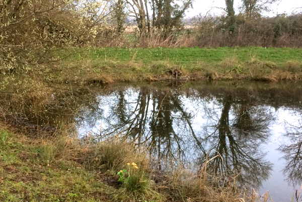
This was particularly noticable where the water is retained for any lentgth of time in ponds. See the Cartgate Case Study below and note the reading (W21) of the newly estabished retention pond at Montacute. This requires a more detailed assessment. Whether this can be scaled up to be of wider applicability is uncertain.
5 Small field margins lead to higher levels of phosphate pollution.
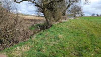
There is evidence that small field margins lead to higher levels of pollution particularly where there was a gradient to the ditch. This can be seen above the confluence of Ball's water and its tributary from Lufton. The Balls Water phosphate reading (W23) field margins above this confluence are shown in the photograph (right)
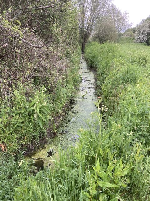
6 Mill Brook is markedly more polluted than Hinton Meads Brook
Of the two parts of this system, Mill Brook is fed by a greater volume of water downstream of the village. Hinton Meads Brook (Hurst Brook) is normally maintained low, filling at times of flood. Two substantial rhynes drain the valley into Mill Brook, both fed only by field run-off. One of these, the more polluted, currently drains a building site.
7 Bower Hinton Brook–temporary agricultural run-off
Bower Hinton Brook drains the higher land south of Bower Hinton. On occasions the stream fills rapidly with run-off from newly ploughed land that is normally contained but occasionally overflows. All the streams feeding this were in a poor state for short periods in mid March and in mid May after heavy storms. The phophate level of this ditch under normal conditions has not yet been measured.
|
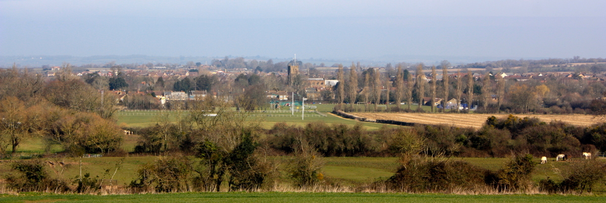 Wellhams Brook in Martock takes the form of two watercourses, Hurst Brook (centre in front of buldings) and Mill Brook just in front of the Church, flowing right to left.